I’ve always been astonished about how well mapping apps work. Sure, when Google Maps was first released the sense of wonder was much greater than it is nowadays, nevertheless it is still impressive.
The number of situations when/where this kind of software becomes handy is huge, from the well-known GPS guides to even games (remember “Pongo”?).
Today it is even easier to work and play with maps, by using free sources such as OpenStreetMap or by using many existing APIs. Even without any programming knowledge, you can build outstanding maps and experiences with services like Felt.
Some time ago, by reading a random blog post on the web, I learned about this tool called “prettymaps“, which lets you generate beautiful images based on the map of a given location.
It has been lost in my notebook since then. Today I decided to give it a try and generate a few renders of the capital city of Madeira Island. Here are the results:
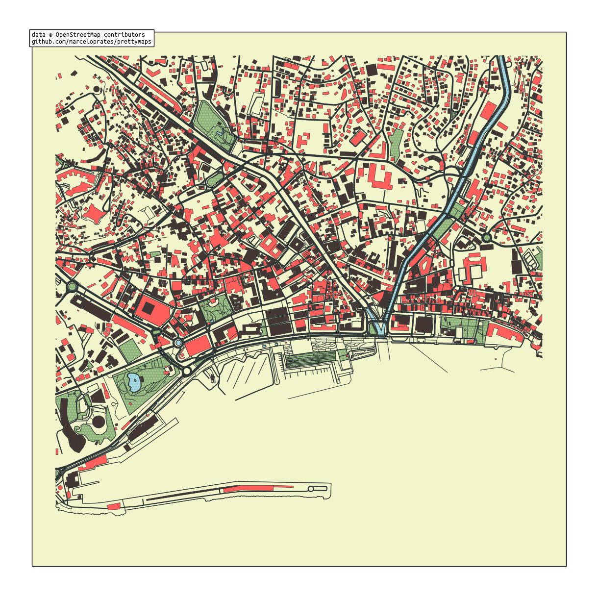
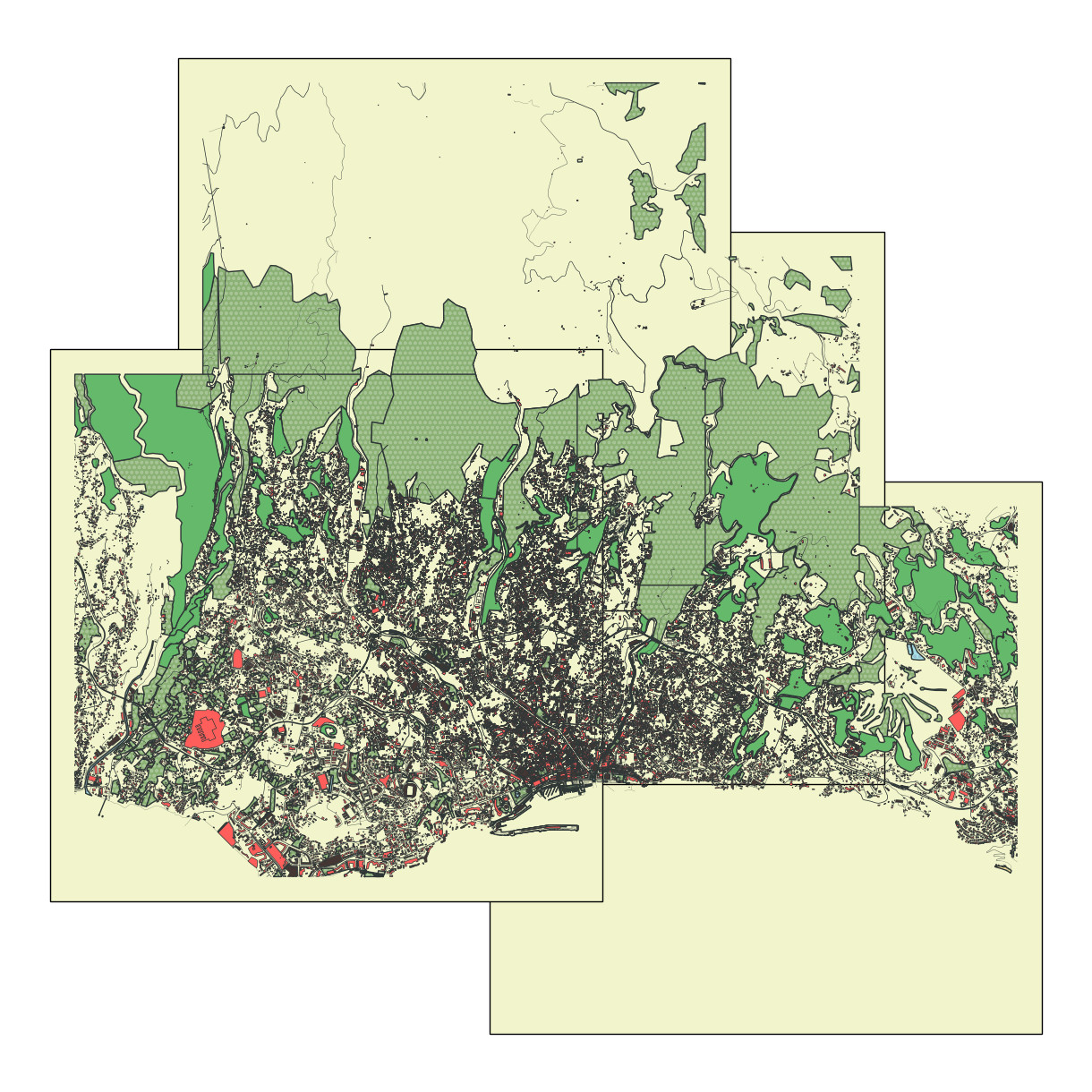

Unfortunately, I wasn’t able to include the ocean. I tried multiple approaches, downloaded files with that information, but ultimately the results were always the same. In the package’s issue tracker on GitHub there are multiple people facing the same issues, perhaps a future version will include a fix for this.